Photos of David Hartzell's 1848-1860
|
Click on photo below for larger image that can be saved or printed. To return, click BACK button.
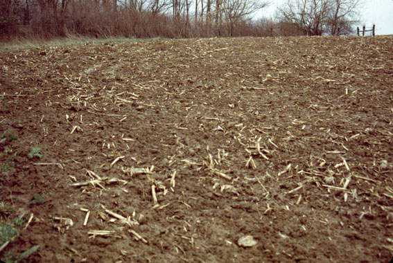
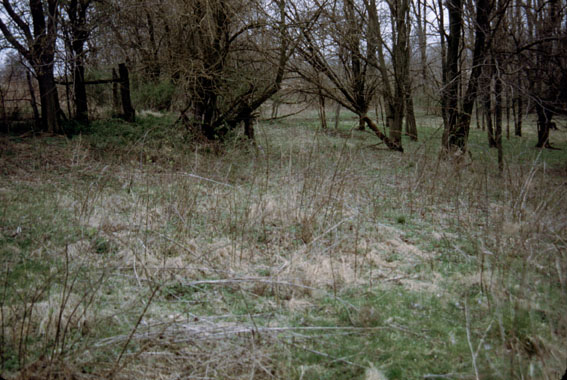
 B16: From just east of farm road 325E, looking south across field. |
 B15: Looking back into Waterloo Twp and farmhouse on the other side of road 325E. |
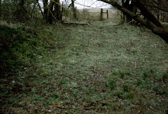
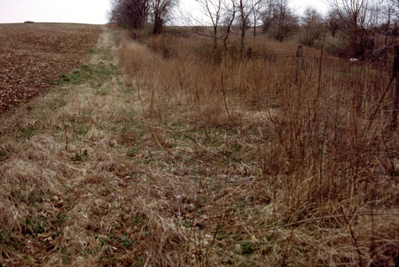 B14: Looking back toward car on farm road 325E. Old roadway to property still evident (between field and fence). |
||
 B13: Land to the north (Waterloo Township on other side of fence). |
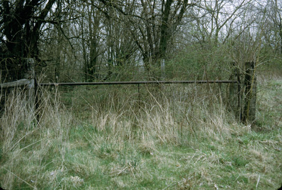
 B12: Looking east toward gate (left) and homesite area (right); old roadway still evident. |
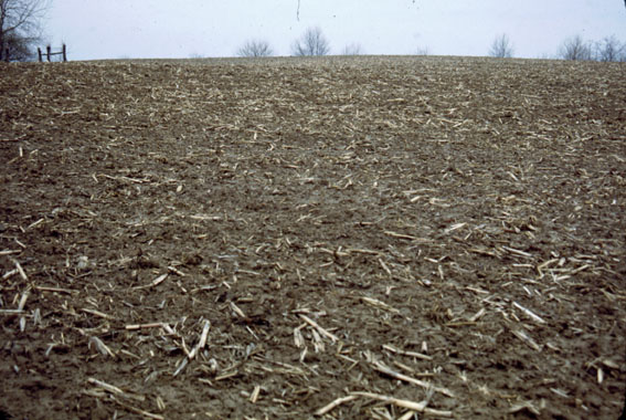
 B11: Looking back west toward my car on farm road 325E. |
||
 B9: With next photo: panorama from gate on left to homesite area on right. |
 B10: With previous photo: panorama father right. |
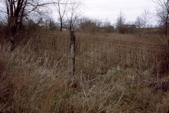
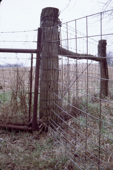
 A1: Old gate at NW corner of timbered area; looking east. |
||
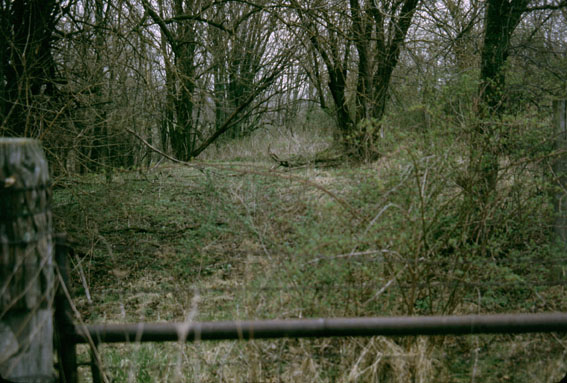 A2: Evidence of old driveway into property with top of gate in foreground; looking east. |
 B8: Post at gate, from inside the gate, looking west. |
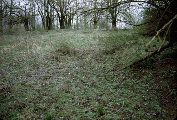
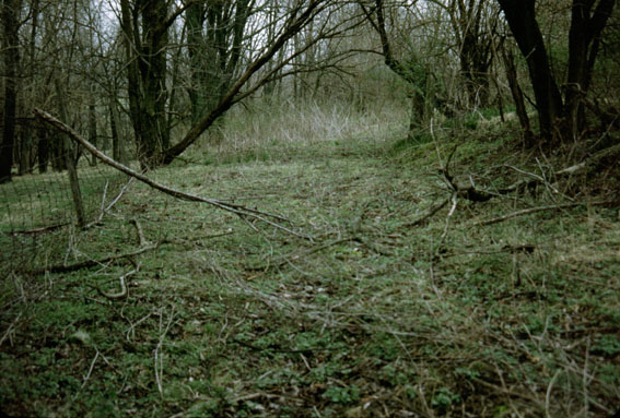 A3: Driveway from inside the gate; shows flatness better; looking east. |
||
 A4: Driveway looking west back toward gate. |
 A5: Looking east from end of driveway. |
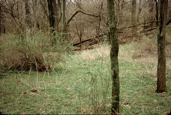
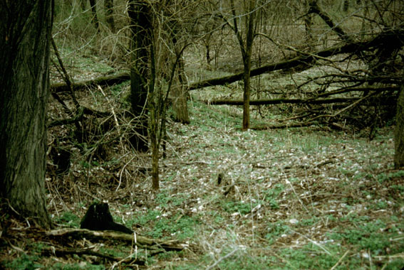
 A6: Looking south from end of driveway; shows homesite hilltop but not ruins. |
||
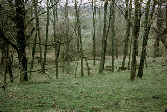
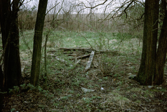
 B7: Looking southeast from driveway to homesite. |
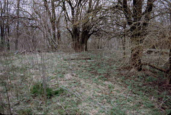
 A7: Looking south showing well on left, house ruins on right, and open field beyond. |
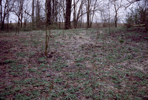
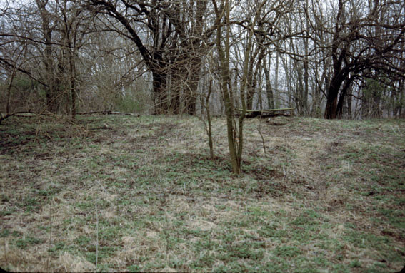
 A8: From homesite hilltop looking NE into Waterloo Township, probably beginning on the other side of the fence. |
||
 A9: Looking south with covered well to the right. Open field is just beyond. |
 A10: Looking west with covered well in foreground and house ruins behind clump of trees on right (old fence in middle). |
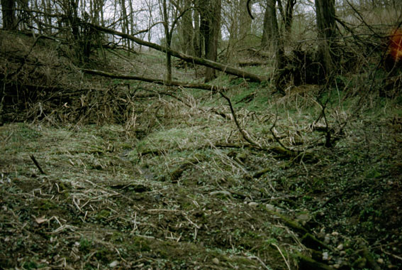
 A11: Looking east? toward gulley/streambed; possible household dumpsite. |
||
 A12: Looking northwest, house ruins on left, covered well on right. |
 A13: Looking north, house ruins on left, some other board in middle, covered well on right. |
 A14: Looking east, house ruins on left, covered well on right. |
||
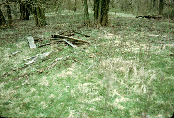
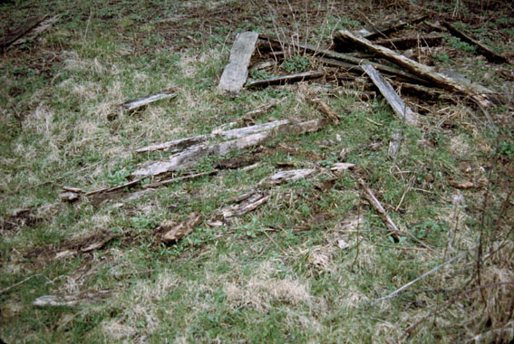 A15: House ruins looking east. There were square nails in the boards. Roof pitch was about 45 degrees. |
 A16: House ruins looking north into Waterloo Township. |
 A17: House ruins looking west toward road 325E, shows nearness of open field in background. |
||
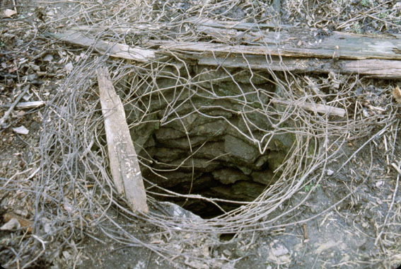 A18: Upper interior part of well, looking south. Well is about 3 feet across. |
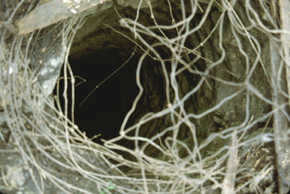 A19: Looking down into well; could not tell how deep it was. |
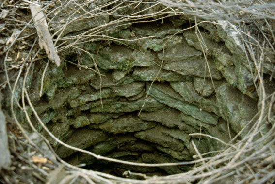 A20: Closeup of upper part of well (green rocks), looking south. |
||
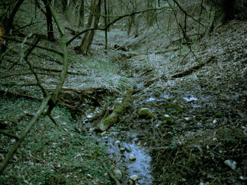 B1: View of gulley/streambed to the east. |
 B2: From gulley looking west. |
 B3: Looking east to gulley, possible trash dump used by households. |
||
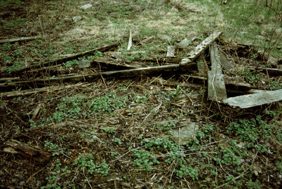 B4: House ruins detail, looking south. |
 B5: House ruins detail, looking south. |
 B6: Possible extension of driveway to house location, looking northwest. |
||